Welcome to the Landscape Geoinformatics Lab
Our workgroup focuses on sustainable landscape planning and resource management using geospatial analysis, machine learning and modelling.
We are an interdisciplinary group aiming to provide novel geospatial data analysis and modelling methods to discover and better understand landscape processes and interrelations. We are interested in applying innovative geospatial tools and techniques to improve sustainable water and land resource management under changing climate and increasing population.
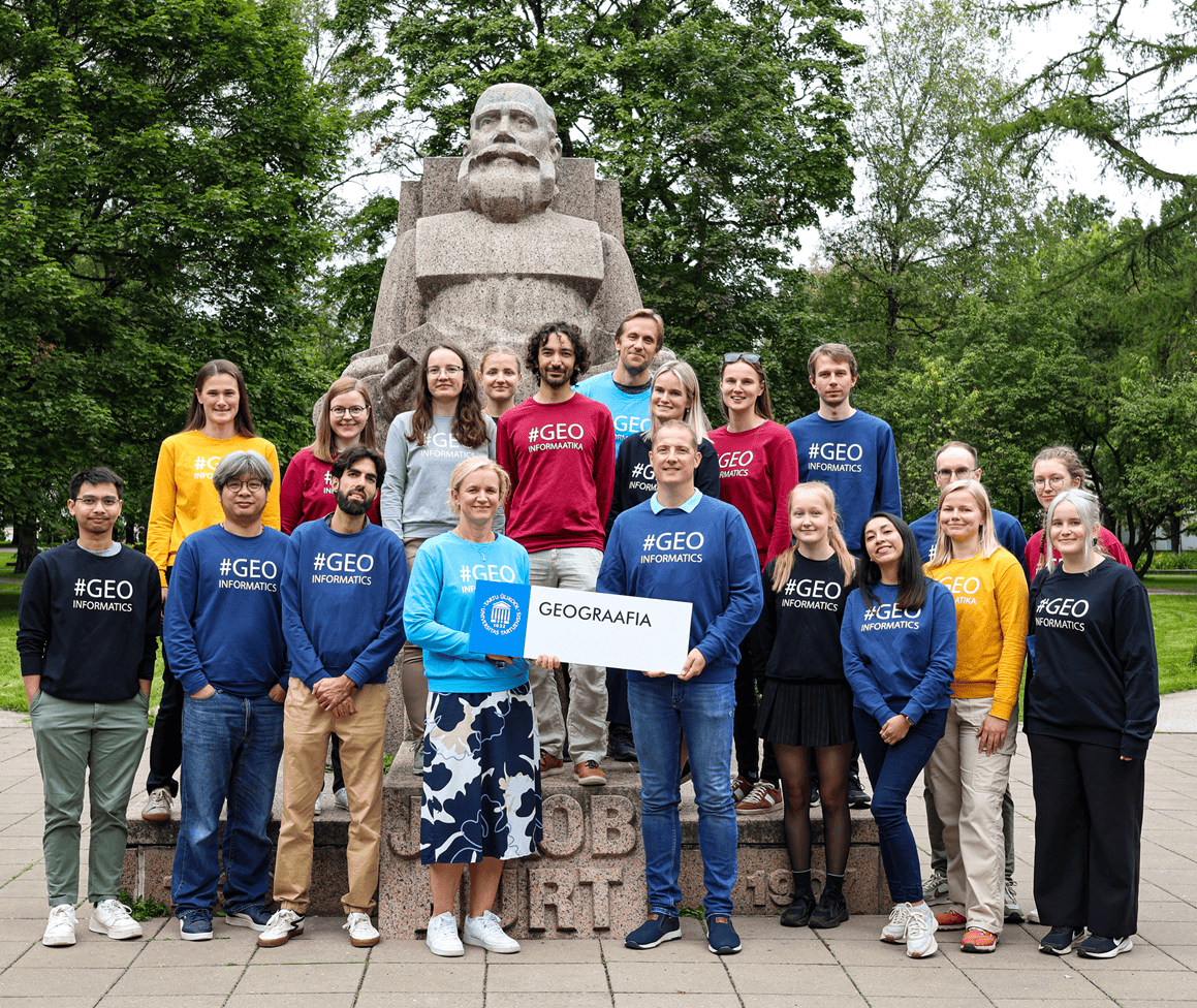

Spatial Analysis and Spatial Machine Learning
Spatial analysis, landscape analysis, and machine learning-based modelling of environmental parameters (e.g., organic carbon).
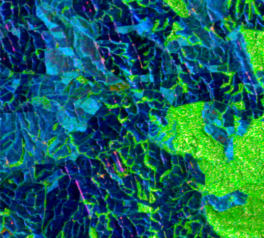
Environmental Remote Sensing
Processing and analysis of remote sensing data (Landsat, Sentinel), including remote sensing-based time series of changes, such as changes in vegetation indices.
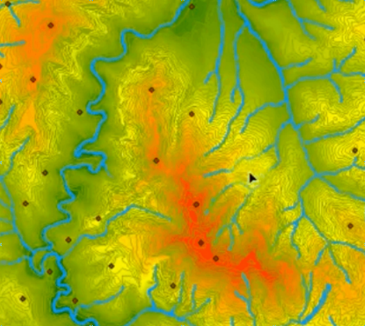
Environmental Modelling
Modelling of soil properties, biodiversity, land cover changes, and water quality.